
Blegoš, at 1,562 meters, is part of the pre-alps in the Upper Carniola region of Slovenia and is the second-highest peak in the area. This part of Slovenia is relatively undiscovered and easy to overlook, making it a perfect destination for those seeking easier hikes away from the crowds. On clear days, you are rewarded with impressive panoramic views of Slovenia in all directions.
Hiking up to the top
The best place to start your hike is at the Črni Kal crossroads, where four roads meet. There is a parking area nearby. From the parking lot, a direct path leads straight to the summit. The trail is quite steep and passes through a forest, while the summit itself is covered with grass. Along the way and at the top, you will also encounter several old bunkers.
The bunkers are part of the Rupnik Line, which the former Yugoslavia built before World War II amid rising tensions, as a defense against the Alpine Wall constructed by Italy. The elevation difference from the parking area to the summit is approximately 430 meters, and the hike typically takes around 45 minutes. Once at the top, you are rewarded with fantastic panoramic views in all directions.
After hiking to the summit, the descent westward to the Blegoš Hut takes around 15–20 minutes. At the hut, you can order food and refreshments, typically traditional Slovenian hotpot dishes such as Jota and Ričet.
The route from the hut begins with a path through the forest, but most of the way follows a dirt road. It takes approximately 50 minutes to walk back to the car.
Getting there
The fastest way to Črni Kal is to drive to Škofja Loka and then follow the road to Poljane. In Poljane, turn right and continue to Javorje and Murave. At Murave, keep left toward Črni Kal. If you are reading thos post in our app, select the Show on Map menu option to get driving directions to Črni Kal.
Equipment
Blegoš is not a difficult hike. Hiking boots, hiking poles, and a backpack with some snacks and water are recommended.
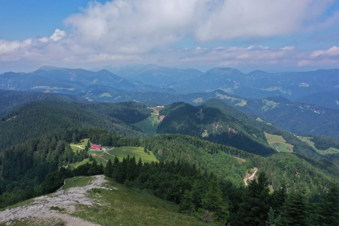
- West – View toward the west and Italy. The Blegoš Hut is visible.
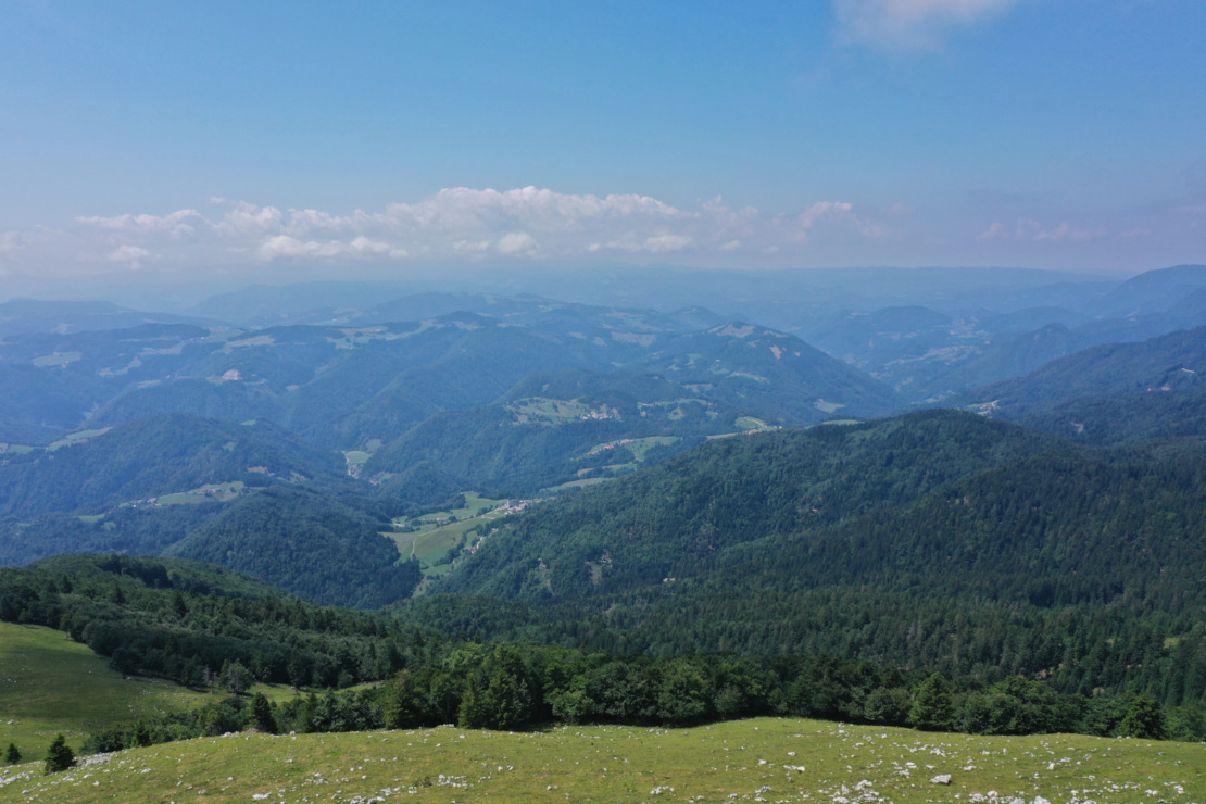
- South – On clear days, you can see Mount Snežnik, near the border with Croatia.
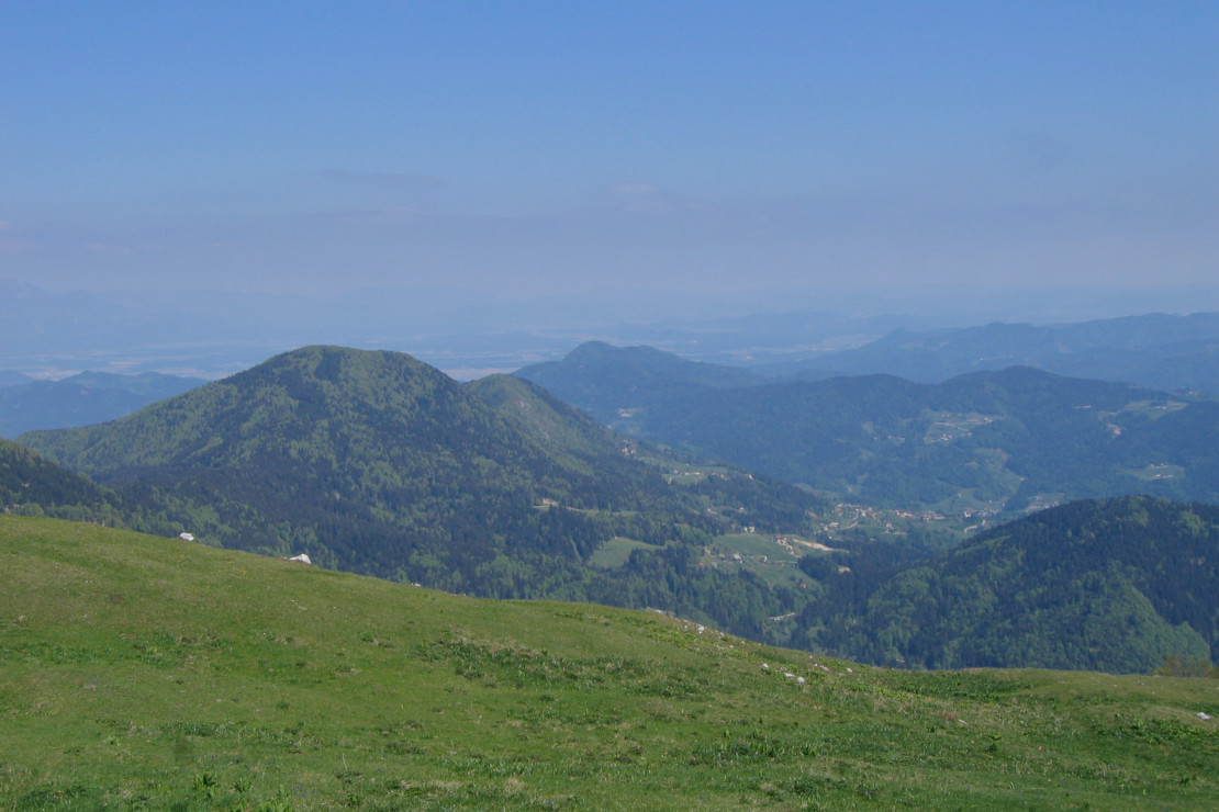
- North – Mount Ratitovec, the highest mountain in the Subalps, is visible. In clear weather, the Julian Alps can also be seen in the distance.
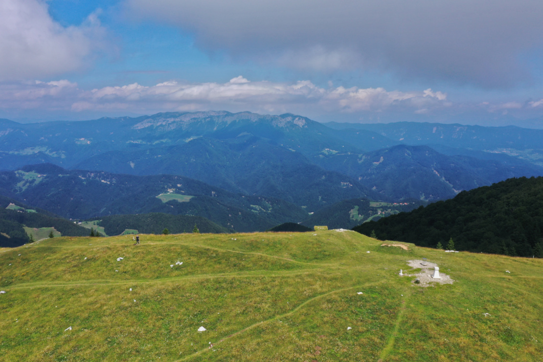
- East – The next peak, Stari Vrh (Old Top), is visible. On clear days, the Kamnik–Savinja Alps can be seen in the background.
Video from the top
Points of interest
- Črni Kal - Located below Mount Blegoš, it is the perfect place to park your car and begin your hike to the summit.
- Blegoš Hut - Located to the west of the summit, it is about a 20-minute walk downhill from the top.


